Great Lakes Road Trip: Door County, Wisconsin (Days 1-4)
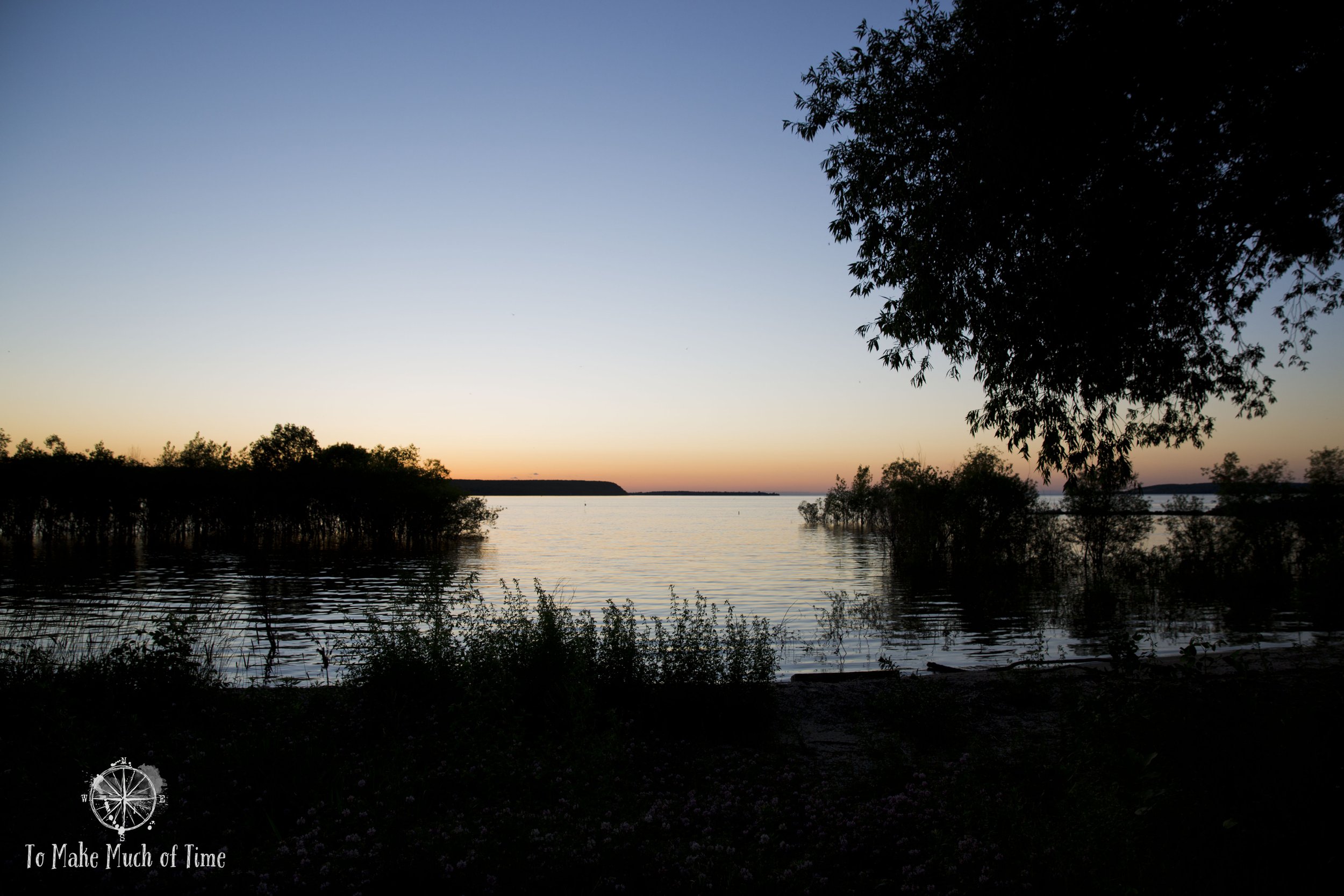
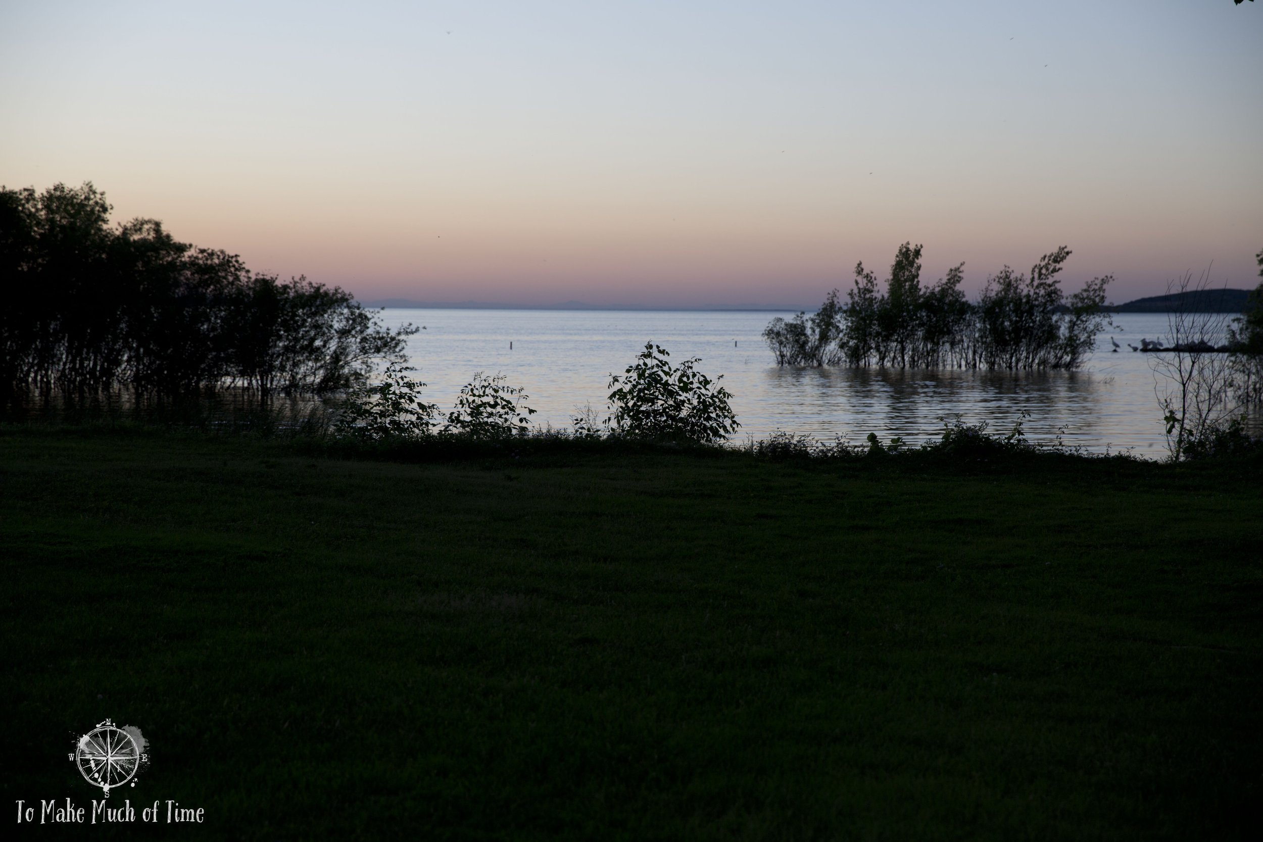
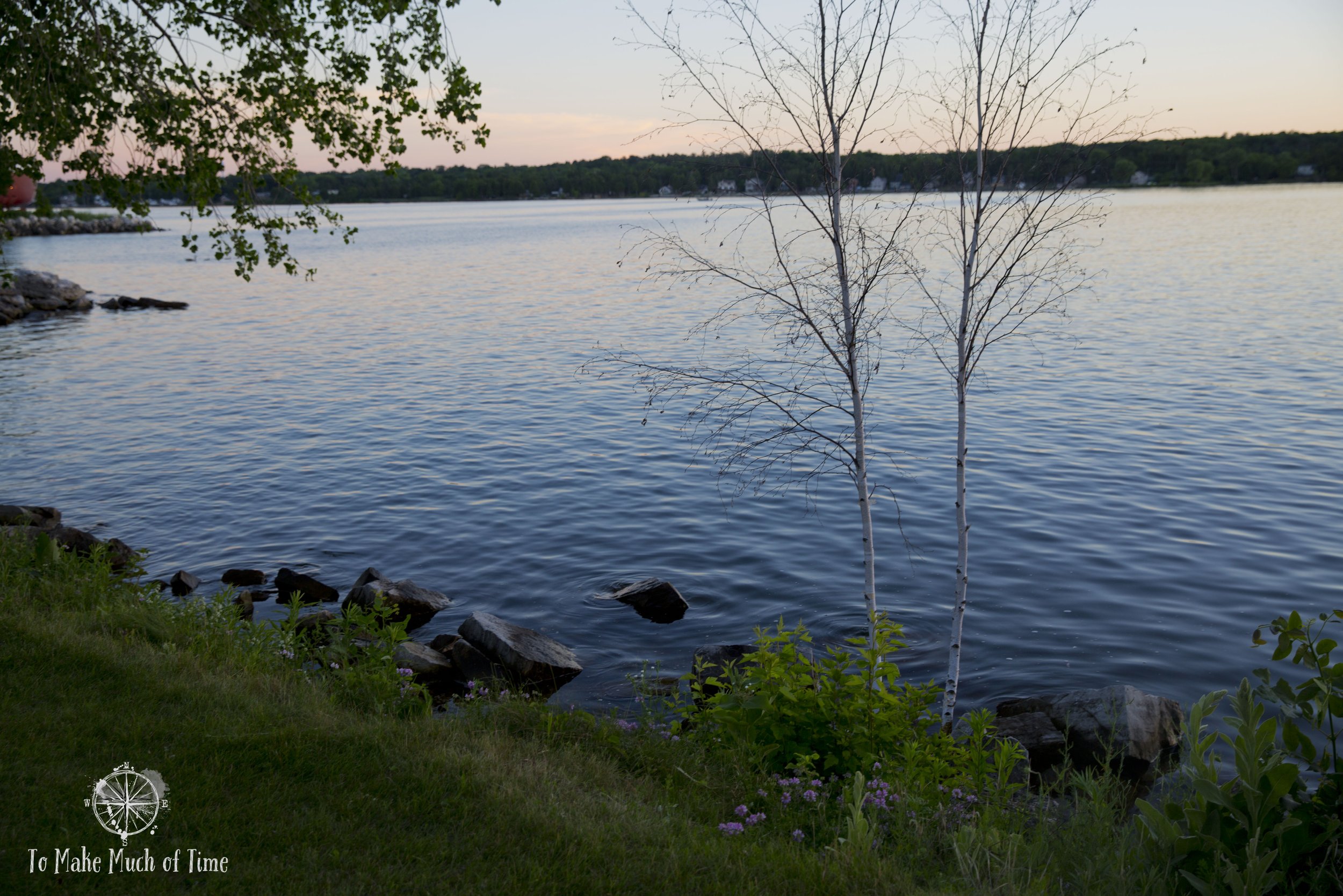
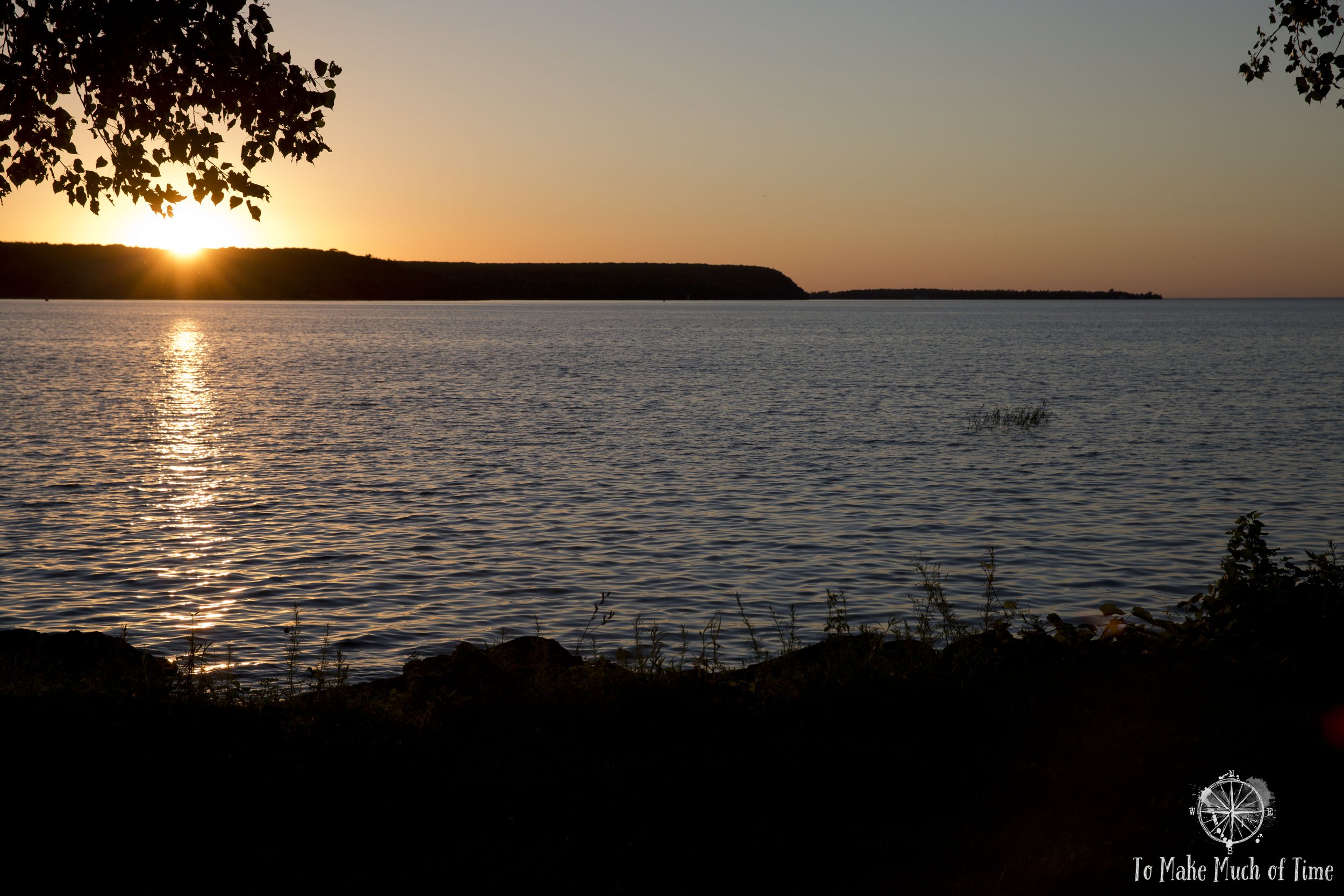
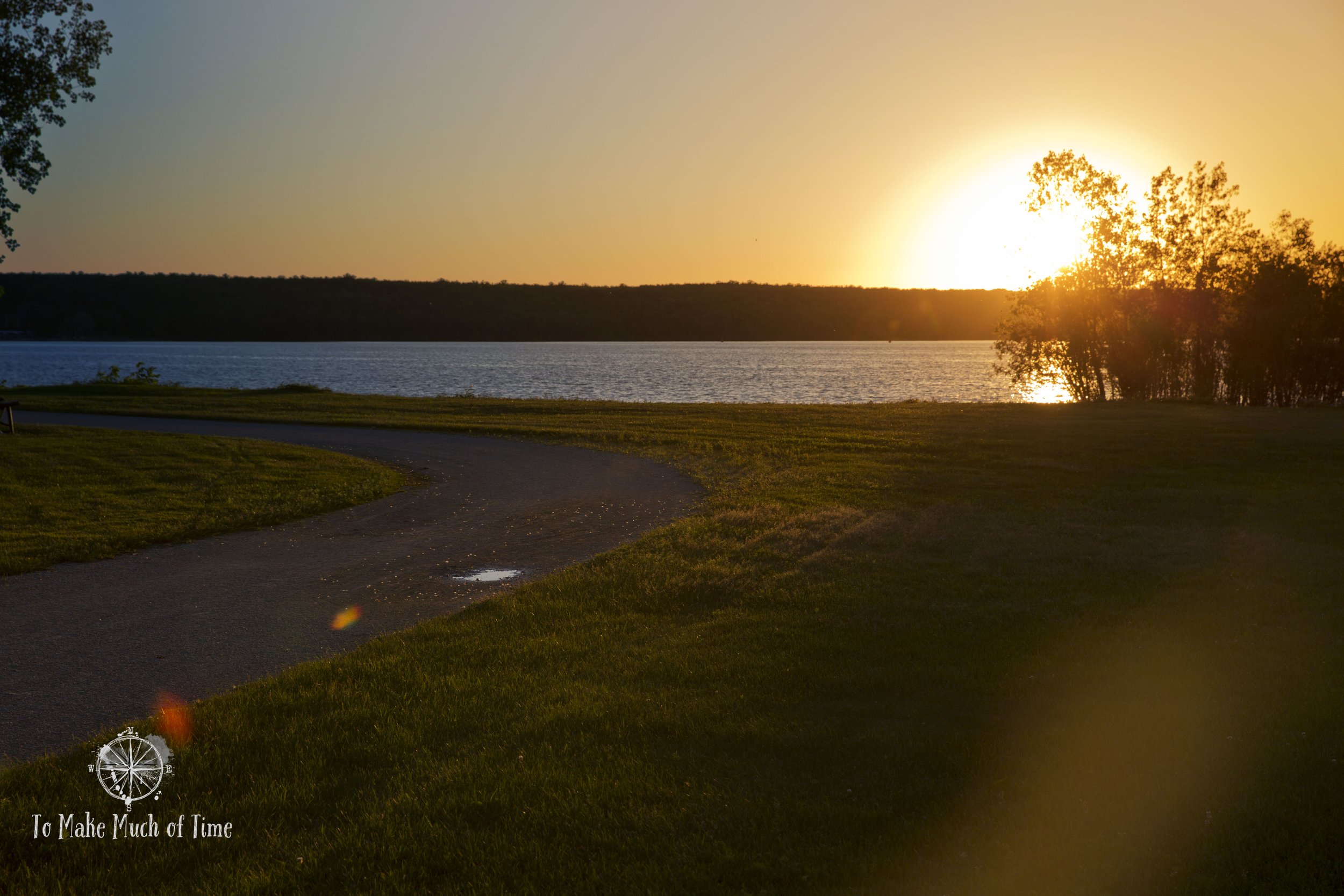
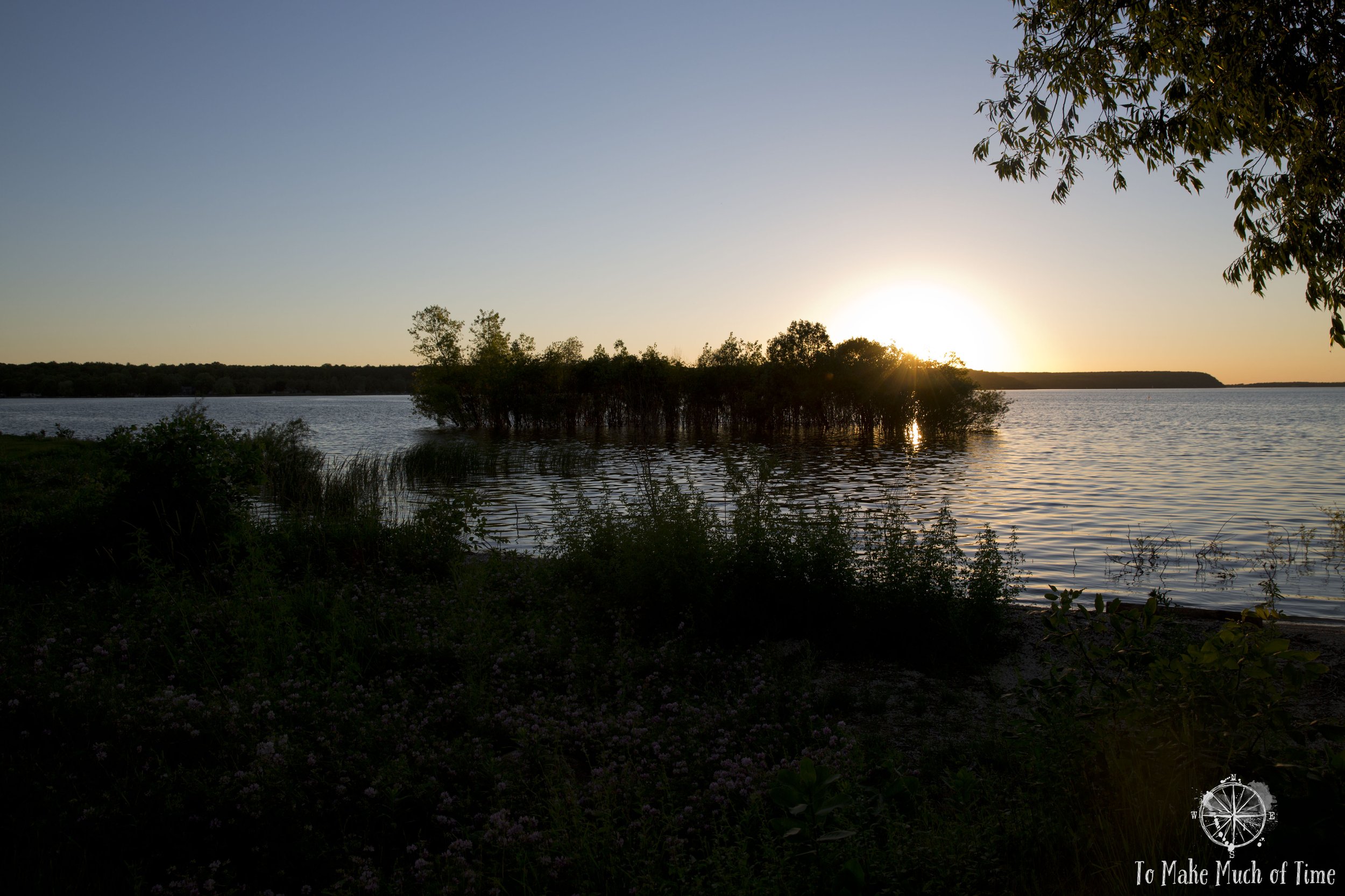
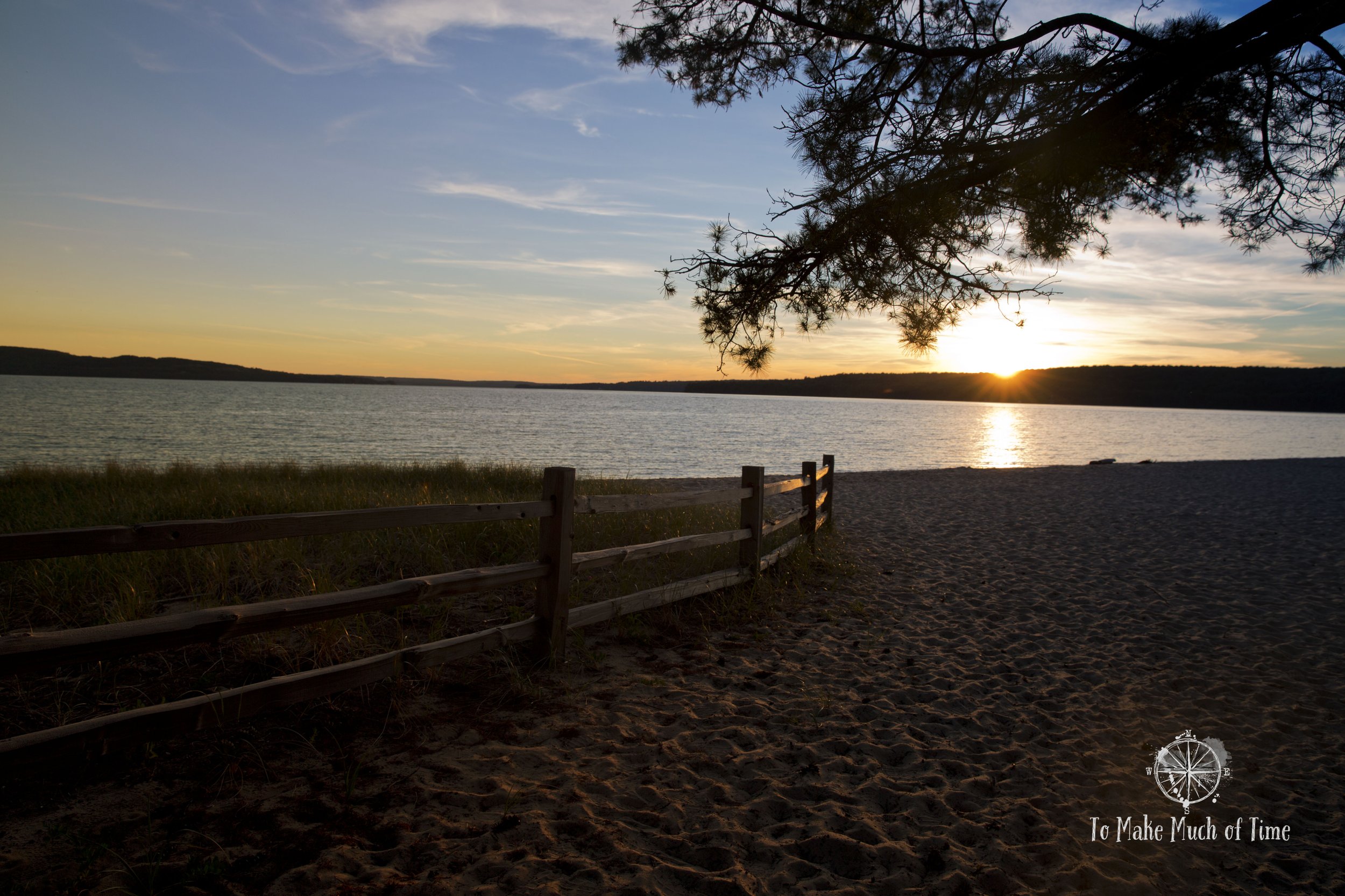
Aptly named Sunset Park Beach in Sturgeon Bay, Wisconsin.
UPDATED: 2/5/2023
Note: Some links throughout our site are affiliate links, which means we may receive a small commission at no cost to you.
Virginia to indiana
In the humid Virginia summer, we packed our bags, loaded up our trusty car, and prepared to set out on a nine-day road trip to four out of the five Great Lakes. The night before had seen strong thunderstorms and torrential rain, a relatively common summer phenomenon. But the amount of rain and devastation it caused were deemed a once in a one-thousand year flood. When we checked the news in the morning before hitting the road through parts of Virginia and West Virginia, we saw that 8-10 inches of rain had fallen from the storms. The rain caused flash flooding in West Virginia in what was one of the deadliest flash floods in the state history, with the loss of 23 lives.
Still, the roads we would be taking were main ones, and they all appeared to be open and safe to traverse. We got on the road for a nearly 9-hour drive ahead of us to our first night’s stop en route to the Great Lakes area. Our night’s destination would allow me the opportunity to explore some spots of family history on the way.
From our home in Roanoke, we headed south for a bit before catching route 460 through the mountains that sit on the Virginia-West Virginia border. The mountains cover a vast region along the border. One of my favorite views in our region is during sunrise take-offs from the small Roanoke airport when the beautiful blue hue for which the Blue Ridge are named stands out and the rows of ridgelines appear to continue on to infinity.
By the time we were in West Virginia, there was visible evidence of the flooding. In one particularly low-lying area, there were a number of farmhouses from the 1800s dotting the land, a fairly common sight in a rural area. But these sat next to a river that normally would be fairly placid but instead was churning roughly and raging over the banks. Huge stagnant pools of water sat in the middle of the farm fields that looked less like agricultural land and more like giant mirrors, reflecting the sunlight in the sky.
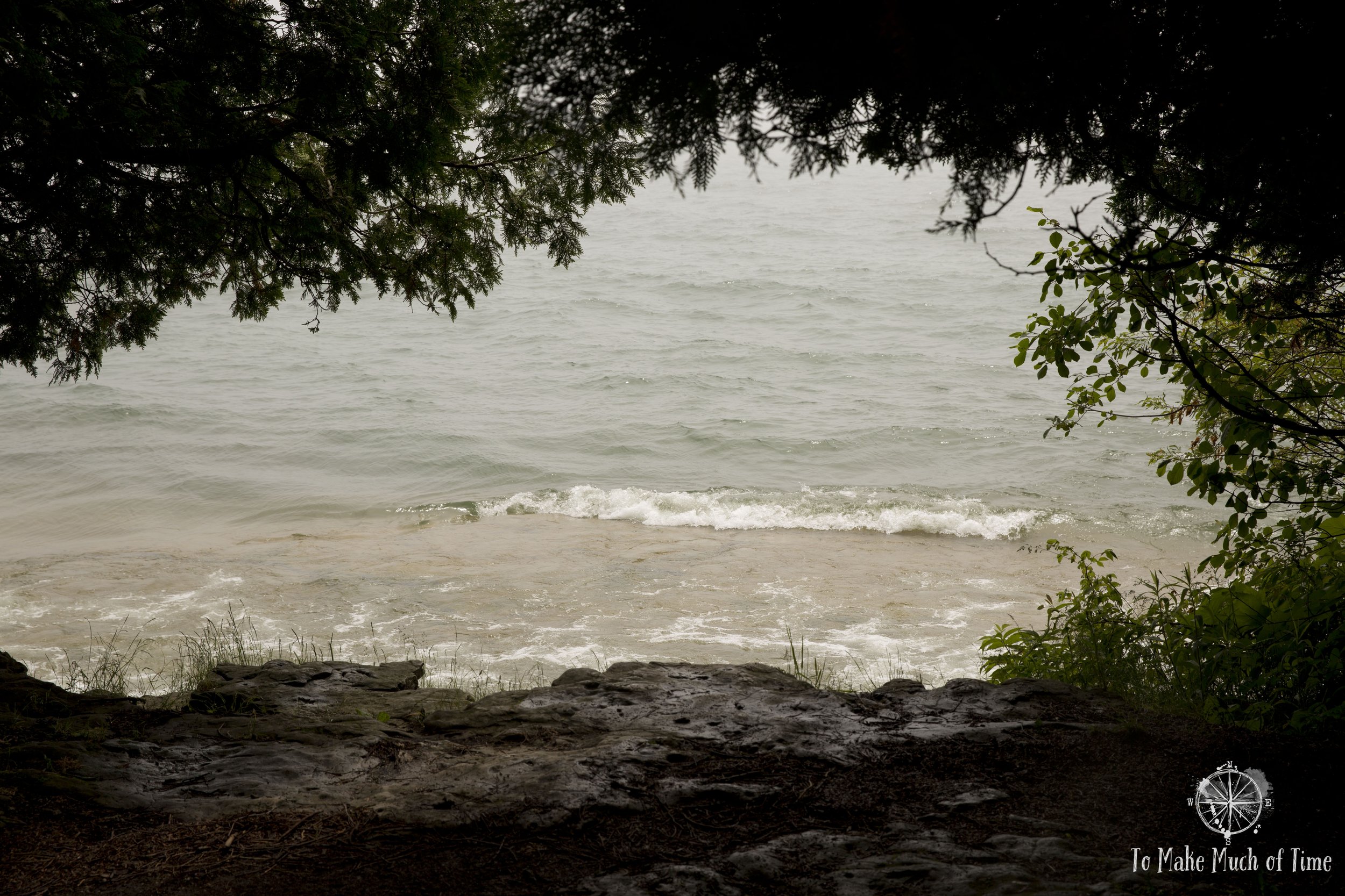
The shore of Lake Michigan in Door County, Wisconsin
View from Eagle Bluff Lighthouse
Beyond the temporary destruction of the night’s flooding, we enjoyed the drive through West Virginia. There is a joke that if you were to take the land in West Virginia and flatten all of the mountains, it would be the largest state in the country. While this is not anywhere close to literally true, it does accurately represent just how very mountainous the state is. Even fairly major roads are a constant winding up, down, and around mountains and valleys. The state has its challenges socioeconomically and often is behind when compared to other states on all sorts of comparison charts. It has dealt with the economic challenges of the coal industry and its corresponding destruction caused on the individual level (e.g., Black Lung Disease) and on the community level (e.g., mountain top removal and water pollution). But no one can contest how beautiful its terrain is outside of those sites.
The route carried us through a brief spate of traffic as we crossed through Charleston, the capital of West Virginia. Charleston is nestled along a confluence of the Elk and Kanawha Rivers and felt to us like a fairly long, narrow downtown, squished into its space by the surrounding mountains.
After treking through a chunk of Ohio and across Indiana, we arrived in West Lafayette, Indiana after over 8 hours in the car.
west lafayette, indiana
Lafayette and West Lafayette, Indiana, each side astride the Wabash River with West Lafayette - no surprise - on the western bank. We stayed at the Courtyard Marriott in Lafayette for the one night we were in town.
The reason we selected the Lafayette area for our stay was because my dad went to college there and given that it was along our route, it seemed a perfect time to swing by and take in his alma mater. Because we are a family that somewhat drags out our generations, it was almost 60 years since my dad had gone there so of course there was a lot that had changed. The building where he would have spent much of his time was in the aeronautical engineering school. Today, that is housed in the expansive and modern Neil Armstrong Hall of Engineering. Armstrong was a student at Purdue just a couple of years ahead of my dad, so they were there at the same time, partially because Armstrong’s college education was interrupted by time in the Korean War. The world of aviation was a small one in that era, and the two of them would cross paths later on, too, after Armstrong had solidified his name in the history books and my dad was attempting to join the small ranks of astronauts.
I called my dad while we wandered on campus for some instruction about where to look, what he recalled. He was able to give me enough details about his old frat house and lo and behold, the old, white building still stands. I snapped a picture. His stories of that house always made it sound miserable. All of the beds were housed in the attic in one giant room, the heads of the beds under the rafters where there was no protection from the midwestern plains winter air. The rest of the house had individualized rooms for each of the men to study in - small rooms with desks and I guess pretty much nothing else.
Eagle Bluff Lighthouse in Peninsula State Park
View of the water from Eagle Bluff Lighthouse
The hike to Old Baldy, the tallest dune in Whitefish Dunes state Park…or old baldy himself?
Without the family history tie, I can’t say that I would recommend others visit the area, but having the opportunity to explore a place I have heard stories about was pretty cool.
We were in West Lafayette in the middle of the summer. College campuses that time of year carry an air of heaviness and quiet. They are built for hordes of active bodies and without them, they are a cross somewhere between a ghost town and a peaceful park setting.
Sturgeon bay and door county, wisconsin
The following day saw an early start. We still had about 5 1/2 hours to go to get to the Great Lakes area, which was our main destination. The route ran us through several large, midwestern cities: Chicago and Milwaukee. By the time we arrived in Chicago, we were in the Great Lakes region since the Windy City (so-called for its politics, not its wind, though it has plenty of that, too!) sits on the shores of Lake Michigan.
To give you a sense of the scale, from when we first hit the lower tip of Lake Michigan, we drove 3 1/2 hours along its coast before even arriving at Door County, the next stop for our trip. We stayed in Sturgeon Bay, at the southern end of Door County, which is comprised of a peninsula protruding into Lake Michigan, and several islands out into the lake. Mainland Door County takes about 70 minutes drive from one end to the next, which meant that with our abode in the southern portion, we ended up with a fair bit more driving there than we had anticipated.
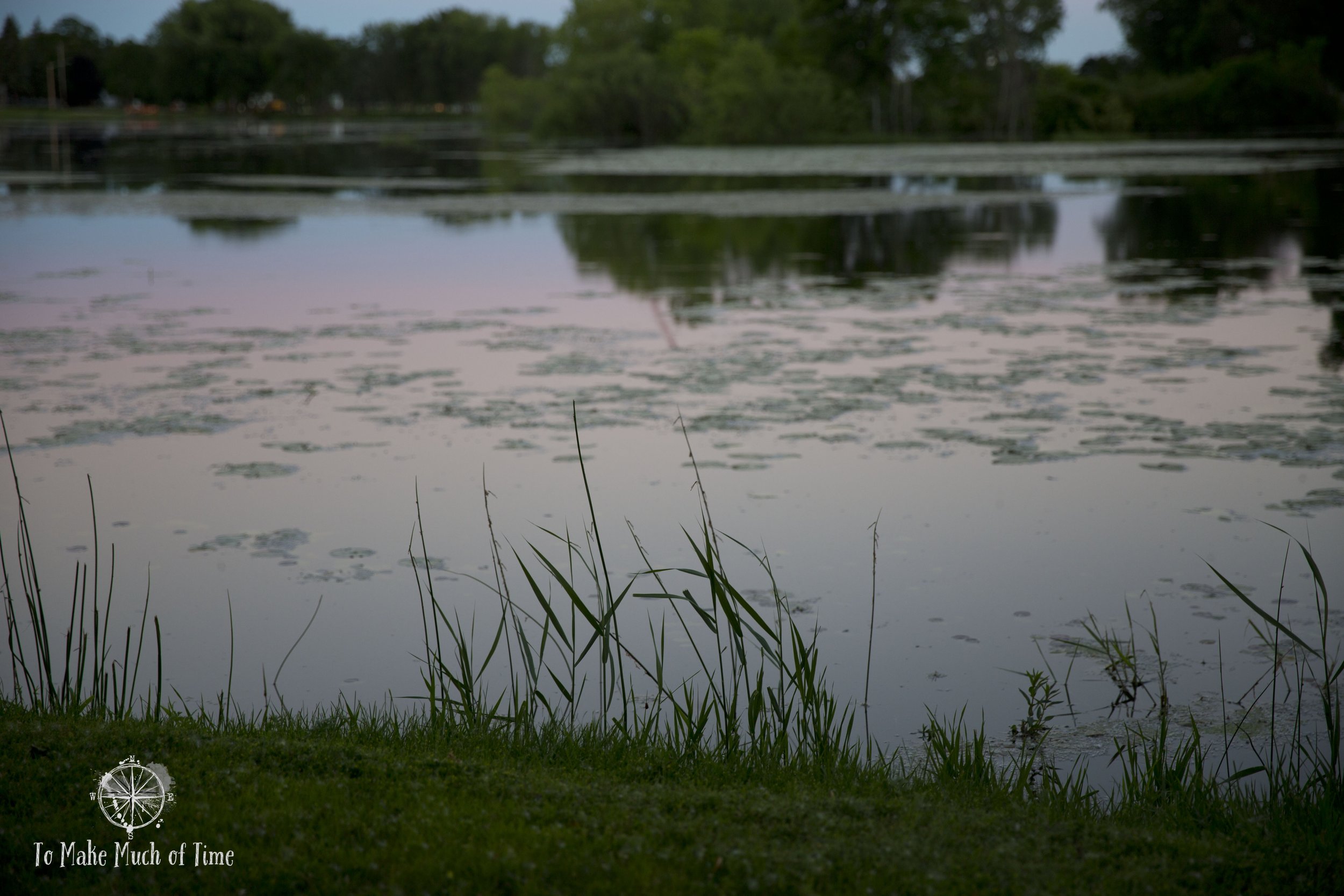
I love the varying hues water reflects from its environment and contents.
Peninsula State Park in Door County, Wisconsin
The shoreline of Lake Michigan through grasses at Peninsula State Park
We spent two nights in Sturgeon Bay’s Diplomat Bed & Breakfast , which was a Victorian era home about a block in from the waterfront. While their website is still active, it is blank, so I’m unsure whether they are still open or not. From what I recall, our room was nice and breakfast was conveniently delivered to our door in the morning. Beyond that, we did not spend any time at the B&B since we were out exploring!
Based on our experience, Door County has a lot of areas for outdoor activities. Sturgeon Bay itself seemed to be the most populated part of the island but was still a small, sleepy town with a population of just under 9,000 people as of the 2020 census. Here are a few places to explore:
- Sunset Park Beach - We walked to this park from our B&B. It is right near downtown Sturgeon Bay. We went for - you guessed it! - sunset, and a glorious site it was. The park is situated right on Lake Michigan, and the sun sets right over the water. Check out the many images of the setting sun at this park in the photo series below!
- Cana Island Lighthouse - Located on the western side of the peninsula, this lighthouse was built in 1869. Today, it is managed by the Door County Maritime Museum. While the lighthouse wasn’t open during our visit, it offers visitors the chance to climb 97 steps to the top from which views of Lake Michigan emerge.
- Whitefish Dunes State Park - With multiple hiking options, we elected to take the Red Trail (2.8 miles). This trail climbs the highest dune in the park, nicknamed “Old Baldy,” which is accessed up 93 wooden steps (but who’s counting?!)
- Peninsula State Park - This park has a little bit for everyone. We decided to rent bikes on site and explore the semi off-road trails early in the day before it got to be too warm. After a few hours of biking around the majority of the routes, we returned our bikes to Nicolet Beach Camp Store & Rentals and grabbed some lunch from the camp store. Right next to it is a nice, sandy beach where we ate and people watched during a lazy afternoon. While in the park, we also checked out its resident lighthouse, Eagle Bluff, one of several lighthouses on the peninsula or located on several small island just offshore.
- Newport State Park - We only had a brief chance to check this park out in the time we had in the area. There are a number of hikes, and the park is designated as a Dark Sky Park for nighttime star-gazing.
Sturgeon Bay has a number of restaurant options, and we kept our trip low-key in the food department. We grabbed a bite to eat in restaurants along the main streets running through town. In our experience, Door County is more rural once you head out of Sturgeon Bay and has relatively few dining options along the way, so definitely plan ahead before getting in the car for the day to ensure you know where you can get your meals! Plan a beach or park picnic at least once while you’re in the area because no restaurant can beat that setting!
After our time in Door County, it was time to head further north - pretty much the far northern reaches of the United States’ midwest region. Next up: Munising, Michigan on Lake Superior.
Below is our route during days 1-4 of this trip. For the entire trip route, check out our overview post of this trip here.
Click the image below to save this post to Pinterest!
Check out our other posts about the Great Lakes:
Check out the rest of this Great Lakes Trip
Read our overview post that provides an outline of the entire 9-day trip.


